
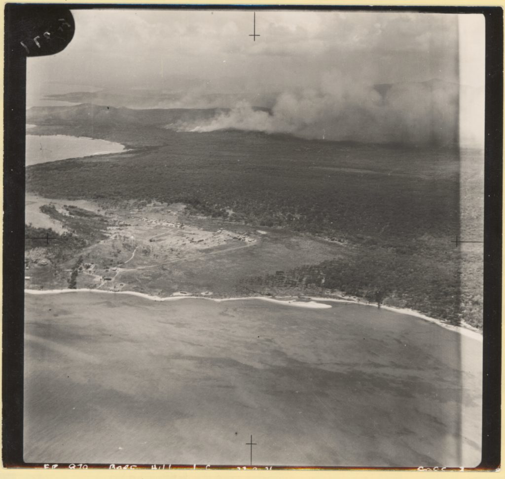
Description: This is an aerial photograph showing the site of the Lockhart River mission. It shows a clearing of land at the base of Bare Hill (near the Lockhart River) with two rows of buildings at the rear of the site, another smaller of group of buildings to the right of these, and a couple of buildings scattered near the beach. The Lockhart River Mission Road can be seen running through the site. This image is one of a series of three images showing the site from different angles.